Boat Ramps on Manistee River
Manistee River has 37 public boat ramps in Michigan. 10 have concrete ramps. 35 have parking available.
Water Level
Live gauge data, 30-day chart, and how levels affect ramp access
Weather Conditions
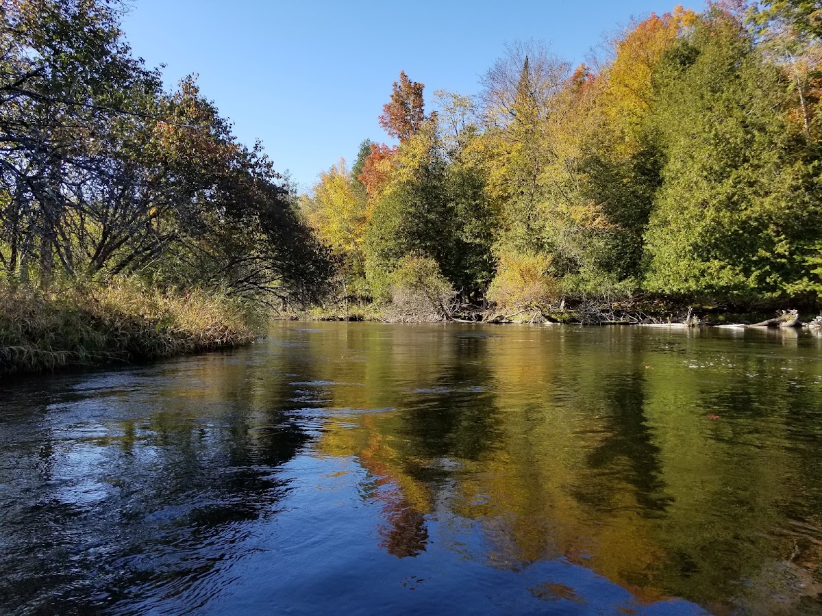
About Manistee River
Manistee River is a river in Michigan with 37 public boat ramps. Ramp surfaces include 10 paved concrete ramps suitable for larger motorized vessels, 24 carry-in launches for kayaks and canoes. 35 have designated parking (29 with trailer parking). Ramps are managed by DNR-FRD, DNR-PRD, Municipal, and others. Live water level data is available from 2 USGS gauges near Manistee River. Check current conditions before launching, as water levels can affect ramp accessibility.
Ramp Locations · 37 on Manistee River
3 Mile Bend
MI
Michigan DNR
4 Mile Bend
MI
Michigan DNR
Baxter Bridge
MI
Michigan DNR
Bridge Street
MI
Michigan DNR
Burnt Cabin
MI
Michigan DNR
CCC Bridge SFCG
MI
Michigan DNR
Harvey River
MI
Michigan DNR
Hole in the Fence
MI
Michigan DNR
Hole in the Wall
MI
Michigan DNR
Loggers Landing
MI
Michigan DNR
Lucas Road
MI
Michigan DNR
Old US-131 SFCG
MI
Michigan DNR
Rainbow Jim Bridge
MI
Michigan DNR
Sand Banks
MI
Michigan DNR
Smithville
MI
Michigan DNR
Tin Can
MI
Michigan DNR
Tippy Dam
MI
Michigan DNR
US-131 Roadside Park
MI
Michigan DNR
West Sharon Road
MI
Michigan DNR
Yellow Trees Landing
MI
Michigan DNR
M-72
MI
Michigan DNR
First Street Ramp
MI
Michigan DNR
No ramps match this filter.
Try removing a filter to see more results.
Things to Do
Planning Your Visit
Based on the ramp facilities available, Manistee River is well-suited for canoe, kayak, motorboat. Recreation activities in the area include Hiking, Camping, Fishing, Boating, Picnicking, Swimming, Birding, Canoeing.
Frequently Asked Questions
- How many boat ramps are on Manistee River?
- Manistee River has 37 public boat ramps .