Boat Ramps on Crooked River
Crooked River has 6 public boat ramps in Georgia. 3 are free to use and 3 charge a launch fee. 6 have concrete ramps. 6 have parking available.
Water Level
Live gauge data, 30-day chart, and how levels affect ramp access
Get Alerts for Crooked River
Stay informed about water level changes and weekly conditions at Crooked River. We'll email you when it matters.
Weather Conditions
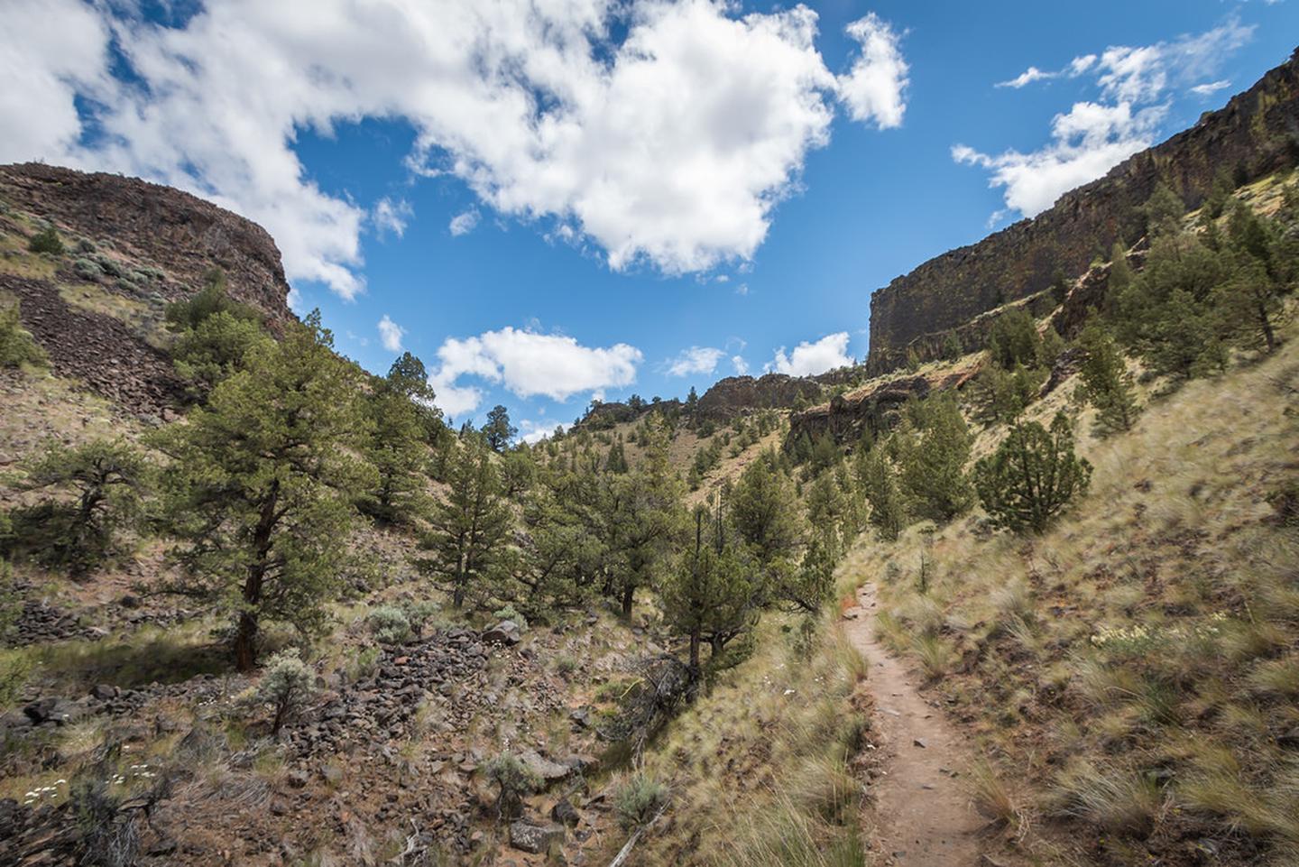
About Crooked River
Just 40 minutes east of the hubbub of Bend, Oregon, sleepy Highway 27 winds 43 miles north from Highway 20 to the city of Prineville. Although the entire route is a state highway, the southernmost 18 miles are unpaved but are of high-standard graded gravel suitable for a passenger vehicle. 3 ramps offer free public access, while 3 charge a launch fee. Ramp surfaces include 6 paved concrete ramps suitable for larger motorized vessels. 6 have designated parking. Ramps are managed by DNR-CRD. Live water level data is available from 1 USGS gauge near Crooked River. Check current conditions before launching, as water levels can affect ramp accessibility.
Ramp Locations · 6 on Crooked River
Crooked River State Park
Camden Co., GA
Georgia DNR
Harriett's Bluff
Camden Co., GA
Georgia DNR
No ramps match this filter.
Try removing a filter to see more results.
Things to Do
Planning Your Visit
Based on the ramp facilities available, Crooked River is well-suited for canoe, kayak, motorboat. Recreation activities in the area include Camping, Biking, Fishing, Hiking, Hunting, Photography, Accessible Facility Or Activity, Boating. Some ramps charge launch fees — check individual ramp pages for current pricing.
Frequently Asked Questions
- How many boat ramps are on Crooked River?
- Crooked River has 6 public boat ramps .
- Are there free boat ramps on Crooked River?
- Yes, 3 of the 6 ramps on Crooked River are free to use.