Boat Ramps on Connecticut River
Connecticut River has 7 public boat ramps in Connecticut. 5 have concrete ramps.
Water Level
Live gauge data, 30-day chart, and how levels affect ramp access
Weather Conditions
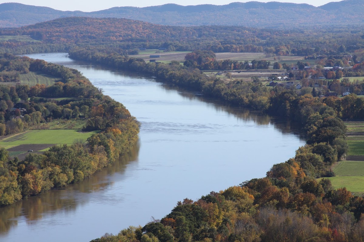
About Connecticut River
Historic villages and working landscapes combine with natural riverine beauty to create a journey though Colonial history along the Connecticut River Byway. The byway traverses a beautiful pastoral landscape of riverside farmlands, historic village centers founded in the late 1600s, working landscapes laid out during Colonial times, tobacco barns, and vistas of the Connecticut River and the Mount Holyoke Range. Ramp surfaces include 5 paved concrete ramps suitable for larger motorized vessels, 2 carry-in launches for kayaks and canoes. Ramps are managed by Connecticut River Water Access, Gillette Castle State Park, Haddam Meadows State Park, and others. Live water level data is available from 3 USGS gauges near Connecticut River. Check current conditions before launching, as water levels can affect ramp accessibility.
Ramp Locations · 7 on Connecticut River
Baldwin Bridge Boat Launch
Old Saybrook, CT
Connecticut DEEP
Bissell Bridge Boat Launch (Connecticut River)
Windsor, CT
Connecticut DEEP
Great Island Boat Launch
Old Lyme, CT
Connecticut DEEP
Haddam Meadows Boat Launch (Connecticut River)
Haddam, CT
Connecticut DEEP
Hadlyme Ferry Boat Launch (Connecticut River)
Lyme, CT
Connecticut DEEP
Kings Island Boat Launch (Connecticut River)
Enfield, CT
Connecticut DEEP
No ramps match this filter.
Try removing a filter to see more results.
Things to Do
Planning Your Visit
Based on the ramp facilities available, Connecticut River is well-suited for canoe, kayak, motorboat. Recreation activities in the area include Historic & Cultural Site, Picnicking, Wildlife Viewing, Biking, Boating, Environmental Education, Fishing, Hiking. Nearby cities include Enfield, Haddam, Lyme, Old Lyme, and more.
Frequently Asked Questions
- How many boat ramps are on Connecticut River?
- Connecticut River has 7 public boat ramps .