Boat Ramps on Chattooga River
Chattooga River has 7 public boat ramps across 2 counties in Georgia. All 7 are free to use. 6 have parking available.
Water Level
Live gauge data, 30-day chart, and how levels affect ramp access
Get Alerts for Chattooga River
Stay informed about water level changes and weekly conditions at Chattooga River. We'll email you when it matters.
Weather Conditions
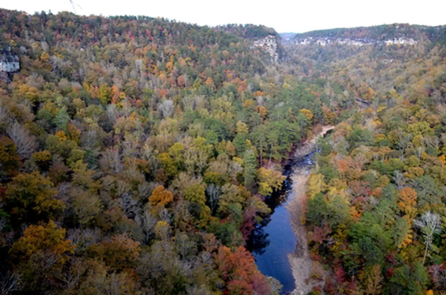
About Chattooga River
Little River is unique because it flows for most of its length atop Lookout Mountain in northeast Alabama. Forested uplands, waterfalls, canyon rims and bluffs, pools, boulders, and sandstone cliffs offer settings for a variety of recreational activities. All ramps are free to use. 6 have designated parking. Ramps are managed by DNR, Town of Lyerly. Live water level data is available from 2 USGS gauges near Chattooga River. Check current conditions before launching, as water levels can affect ramp accessibility.
Ramp Locations · 7 on Chattooga River
Lower Chattooga Kayak Launch
Chattooga Co., GA
Georgia DNR
Lyerly Dam Canoe Launch
Chattooga Co., GA
Georgia DNR
Chattooga River DH
Rabun Co., GA
Georgia DNR
No ramps match this filter.
Try removing a filter to see more results.
Things to Do
Planning Your Visit
Based on the ramp facilities available, Chattooga River is well-suited for canoe, kayak, motorboat. Recreation activities in the area include Hiking, Biking, Fishing, Horseback Riding, Picnicking, Swimming, Auto Touring, Boating.
Frequently Asked Questions
- How many boat ramps are on Chattooga River?
- Chattooga River has 7 public boat ramps across 2 counties.
- Are there free boat ramps on Chattooga River?
- Yes, 7 of the 7 ramps on Chattooga River are free to use.